Moving complex projectsfrom feasibilityto operation.
Impact is the project team for complex, land-intensive developments. From the first look to completion, we are with you every step.
One team, every stage
Feasibility, land, rights of way, permitting, survey and readiness run as one program, so nothing waits on a handoff between firms.
Every discipline, one team
Title, survey, permitting and field services, delivered under one Impact project team. One schedule, one standard of work and one point of contact for your team.
Answers the same day
Every parcel, permit and payment is tracked as the work happens. You know where your project stands the day you ask, and nothing lapses or gets paid on unclear title.
Read the ground before you commit.
Who owns it, what constrains it, what the federal record already holds, and whether it can carry the project.
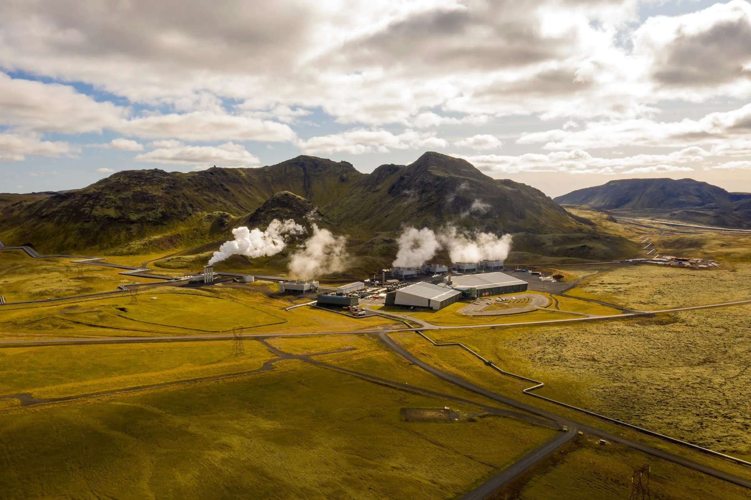
Showing the finished project: Geothermal plant and well field.
- 01 · Feasibility. Read the ground before you commit. Who owns it, what constrains it, what the federal record already holds, and whether it can carry the project.
- 02 · Land. Secure every right to it. Owners found and negotiated one at a time. Title run at the county, defects cured, leases and options closed.
- 03 · In the field. Walk it, survey it, tie it down. Site walks, corners recovered and monumented, and boundary survey, delivered under one Impact project team. The paper matches the ground.
- 04 · Rights of way and approvals. Clear the path to build. Corridors secured owner by owner, stationed and surveyed, with federal, state and county approvals run on the same schedule.
- 05 · Operations. Keep it in order for decades. Rentals, renewals and obligations kept current, and every payment checked against the title behind it.
Bring us in at any stage.
- 01
Feasibility
What the site holds, who owns it, what constrains it, and whether it can carry the project.
- 02
Land
Owner outreach, acquisition and leasing, with county title and the curative that makes ground closeable.
- 03
Rights of way and corridors
Routes for lines, pipe, roads and fiber, secured owner by owner and agency by agency.
- 04
Permitting and approvals
Federal, state and county approvals, scoped, scheduled and run to decision.
- 05
Survey and field services
Boundary, ALTA and route survey, corner recovery and site walks, delivered by your Impact project team.
- 06
Infrastructure readiness
Power, water, access and fiber confirmed and coordinated, so the site is ready when construction is.
- 07
Operations and rights
Rentals, renewals and obligations kept current, and payments checked against title, for the life of the project.
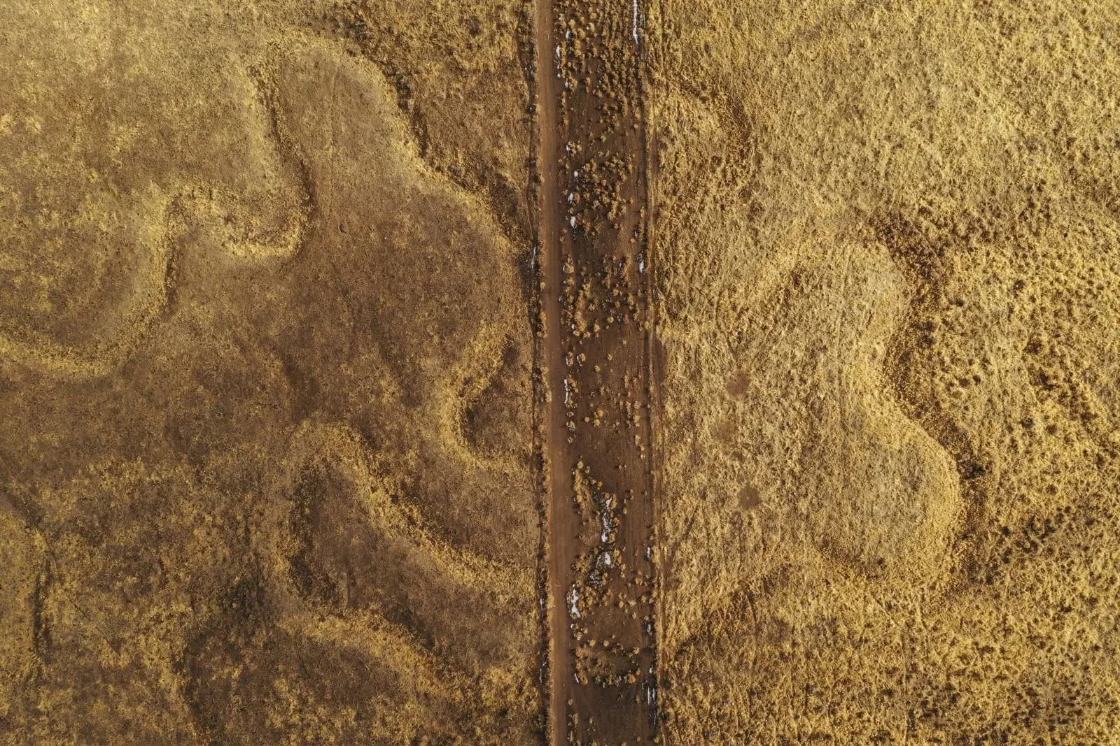
We work on the ground, not just on paper.
- Site walks and reconnaissanceEvery project
- Records research at the county seatTitle and curative
- Owner meetings in personLeasing and easements
- Corner recovery and monumentationSurvey
- Boundary, ALTA and route surveySurvey
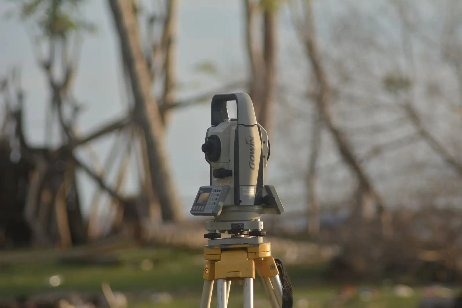
Built for projects that live or die on the ground.
Different industries, the same hard part: a lot of land, a lot of owners and a schedule that cannot slip.
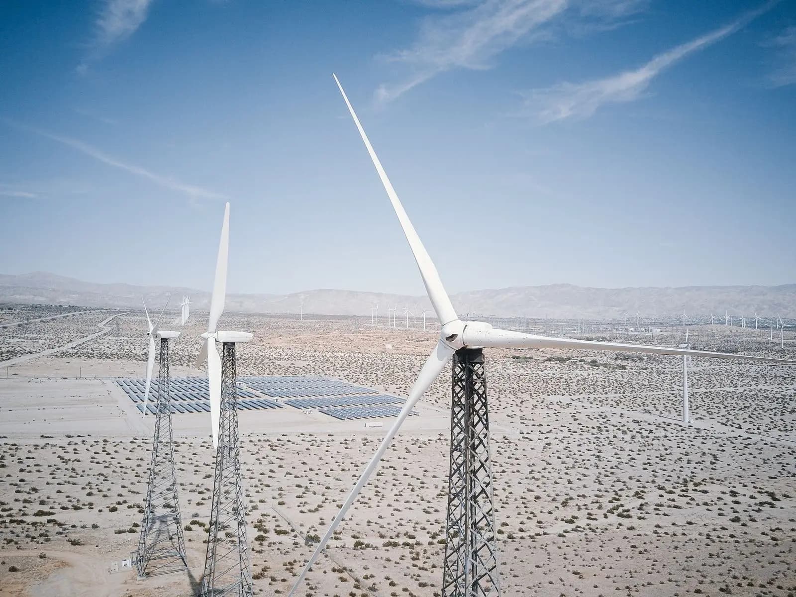
Energy
Geothermal, solar, wind, storage and transmission. Fragmented ownership and severed estates are ordinary work for us.
Energy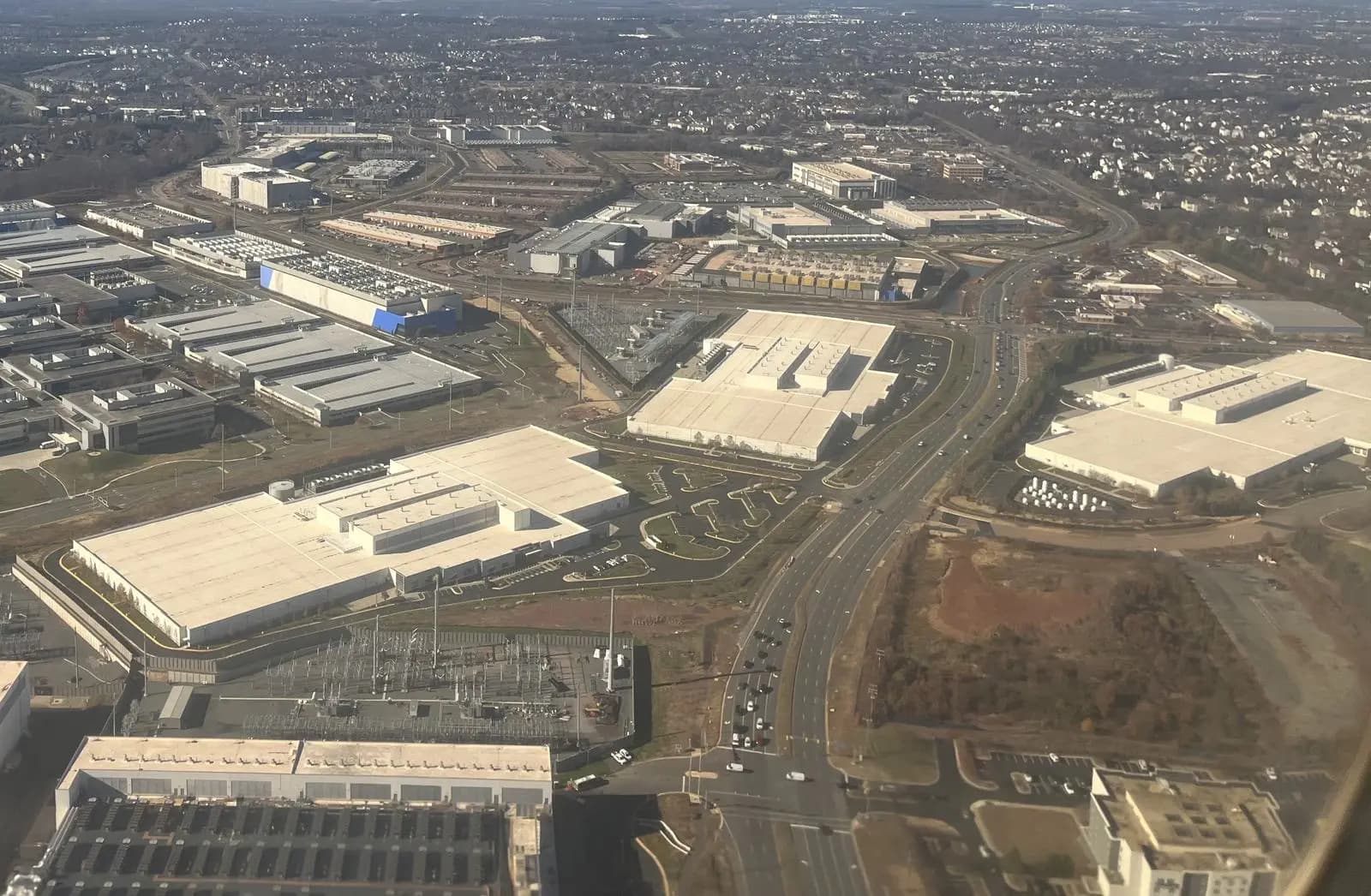
Data centers
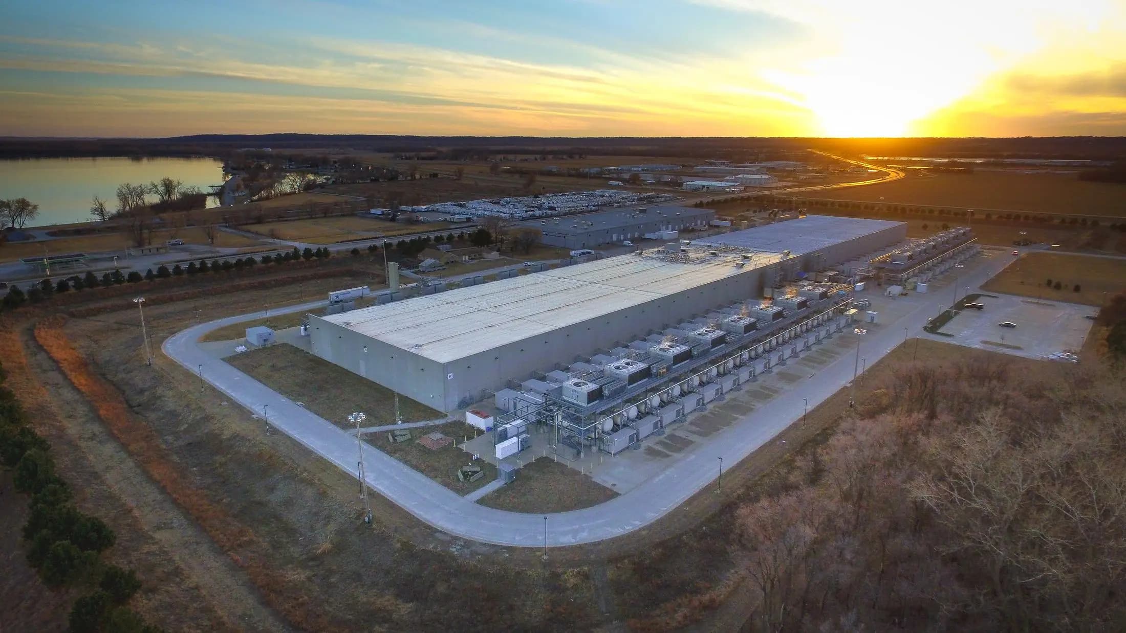
Large sites with power, water and fiber, confirmed before you commit, then assembled and entitled.
Data centers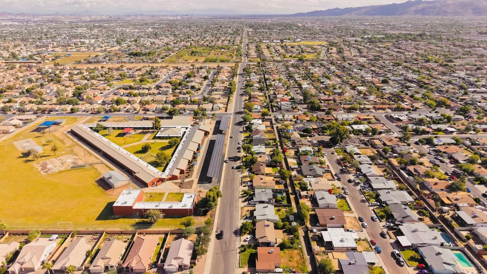
Real estate
Assemblage, title, survey and entitlement for industrial, master planned and mixed use projects.
Real estate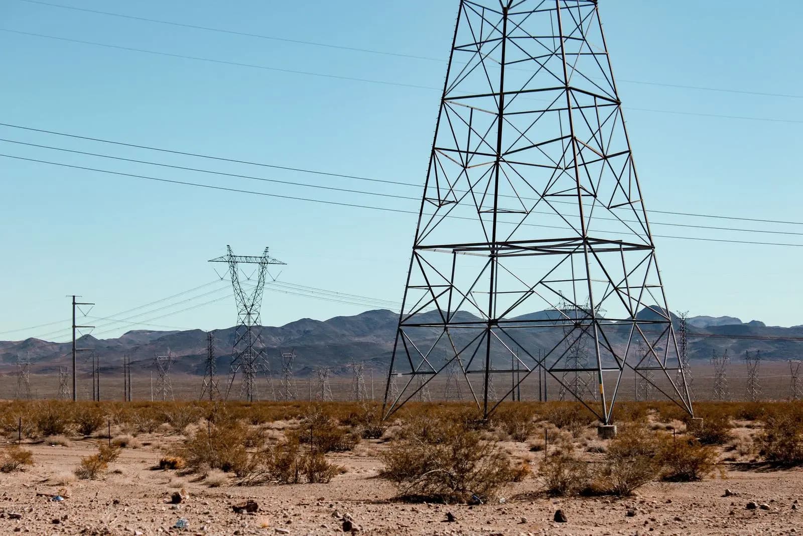
Infrastructure
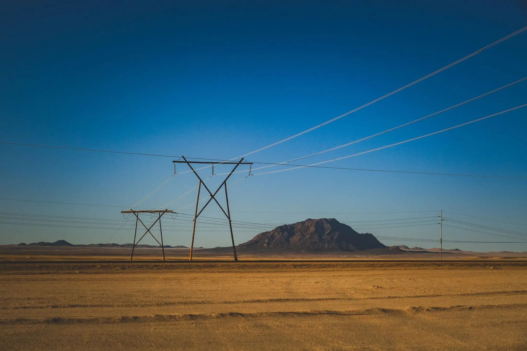
Transmission, pipelines, water and fiber. Corridors and rights of way across hundreds of owners.
InfrastructureThe hard part of a project, done one owner at a time.
One utility-scale geothermal position across the West, built in eighteen months. The client is confidential. Figures as published in the case study.
Found, contacted and negotiated with, through fractional interests and holdouts.
Assembled one at a time, with 109 leases executed.
Ground where the surface owner does not own what lies beneath. A surface-only review misses every one.
Stood up across the West, each with its own records, agencies and local practice.
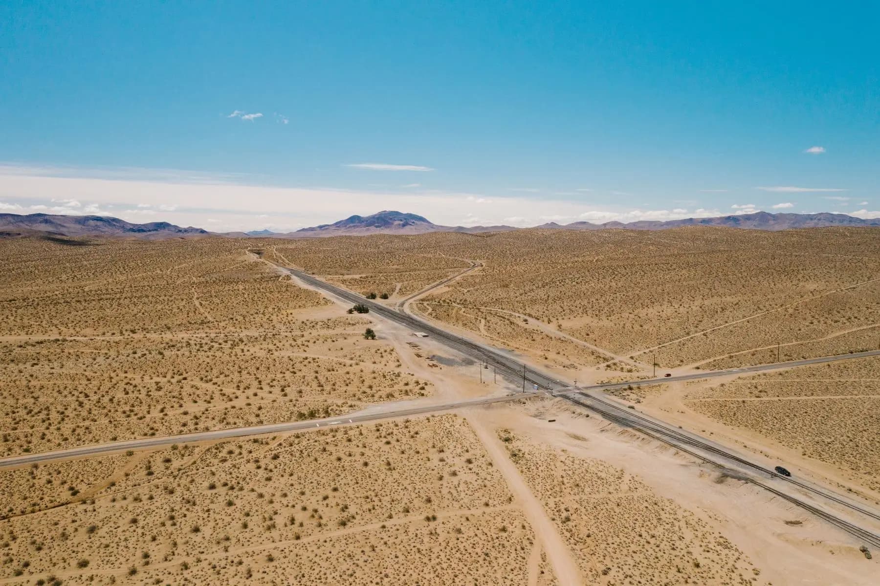
267,000 acres. Eighteen months.
A geothermal developer came to us with a position held together by spreadsheets. We mapped it, ran title parcel by parcel, negotiated the leases and left them with one live record of where it stands.
Ready to move
your project?
Tell us where it is, what it needs and when. We will come back with who would work on it and what we would do first.
Start a project